Home & Synopsis/Status Reports Purpose & Method Who was Carl Sharsmith? Why name a Yosemite feature for Carl?/Origin of Proposal WHICH FEATURE SHOULD BE NAMED FOR CARL? How can a feature be named for Carl? Summary of Supporting Statements Contacts/Resources WEBMASTER Search Form
Use of this site means you accept its terms and conditions.
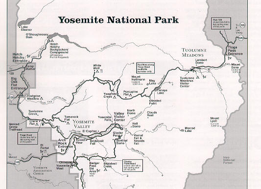
Map of Yosemite National Park showing general location of informally-named Sharsmith Peak at Yosemite National Park/Inyo National Forest border.
The peak is along the park/forest boundary north of Tioga Pass Entrance on the east (right side of map.) North is at top, not to scale.
Go to "Portion of 15-minute 1956 map "Tuolumne Meadows, Calif. Quadrangle" (U.S. Geological Survey) showing location of informally-named Sharsmith Peak". This map shows the number 12,002 at the peak's location.
Back to "Which Feature Should Be Named for Carl?/Origin of Proposal"
This "Map of Yosemite National Park" page last modified 11/24/2006: \name4carl\n4cmapyo.htm.
Home & Synopsis/Status Reports Purpose & Method Who was Carl Sharsmith? Why name a Yosemite feature for Carl?/Origin of Proposal Which feature should be named for Carl? How can a feature be named for Carl? Summary of Supporting Statements Contacts/Resources WEBMASTER Search Form